2021. 12. 13.
The biggest and most significant project of 2021
Comprehensive survey of Törökbálint road network
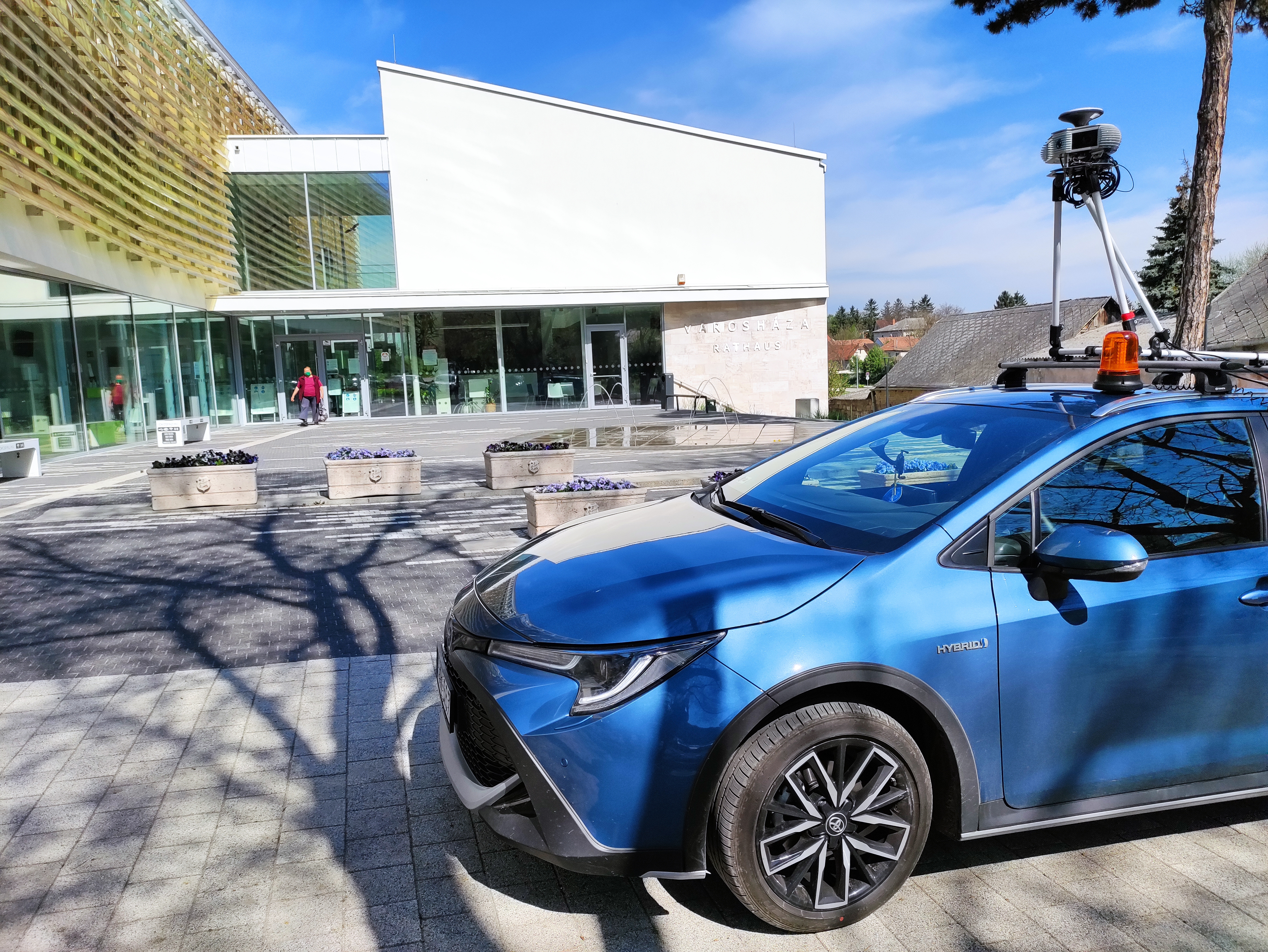
A comprehensive survey of the settlement was carried out with
a GeoMeter survey device, where a 260-kilometer trail was recorded. With the
survey and by creating the current database, we will speed up, facilitate and
support the work of the settlement.
Why was this project the most significant in 2021?
- The project took 5 months from preparation to implementation.
- It is always good to work with a helpful local
government, as our common interest / goal is to produce the right data.
- It includes countless working hours.
- We measured 260 kilometers of road network.
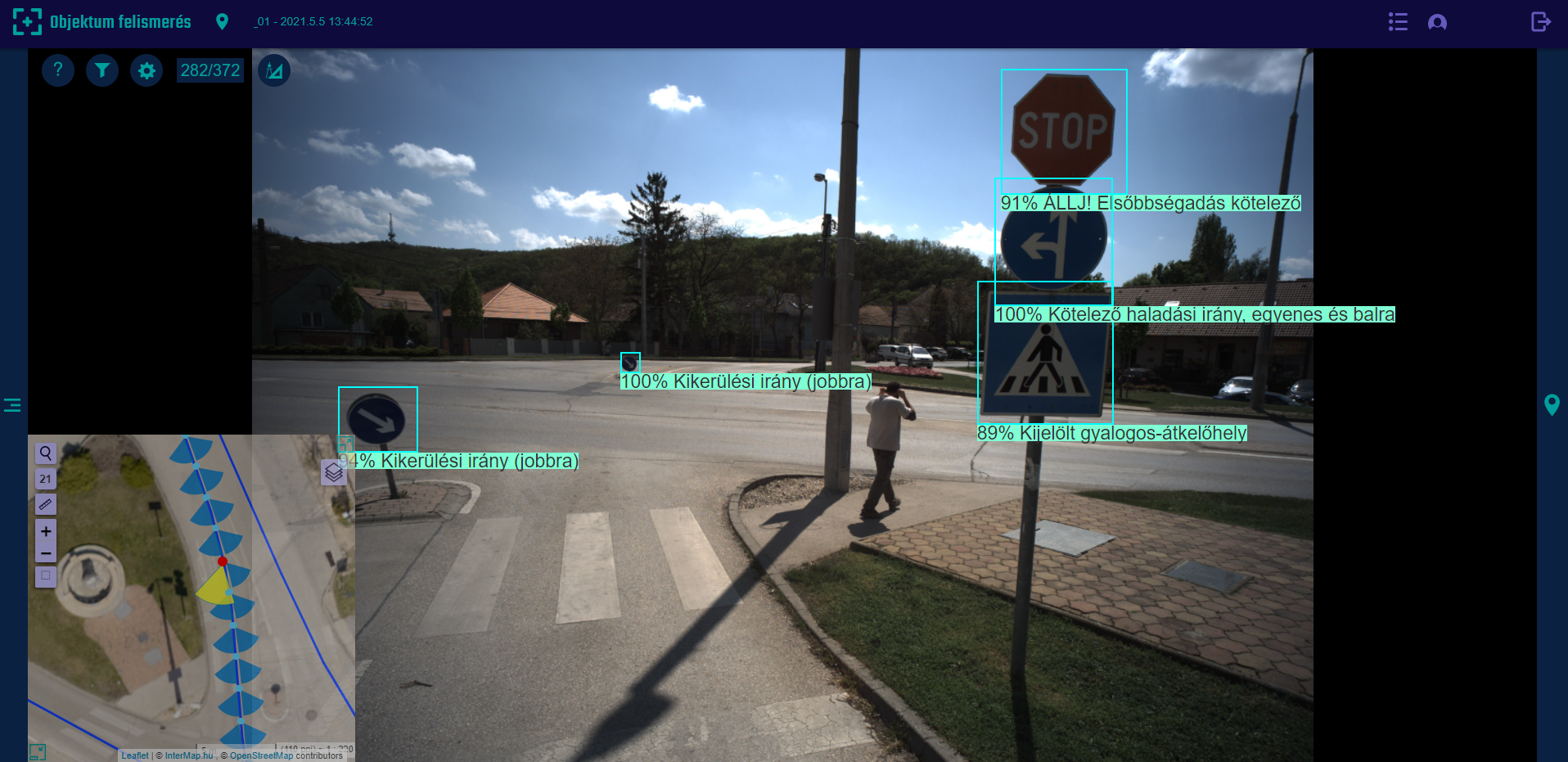
- 246,382 images were taken during the survey.
- 2655 traffic signs were inserted by the Artificial
Intelligence, which we checked one by one and repaired if it was necessary.
- 2529 other objects were spotted based on the images.
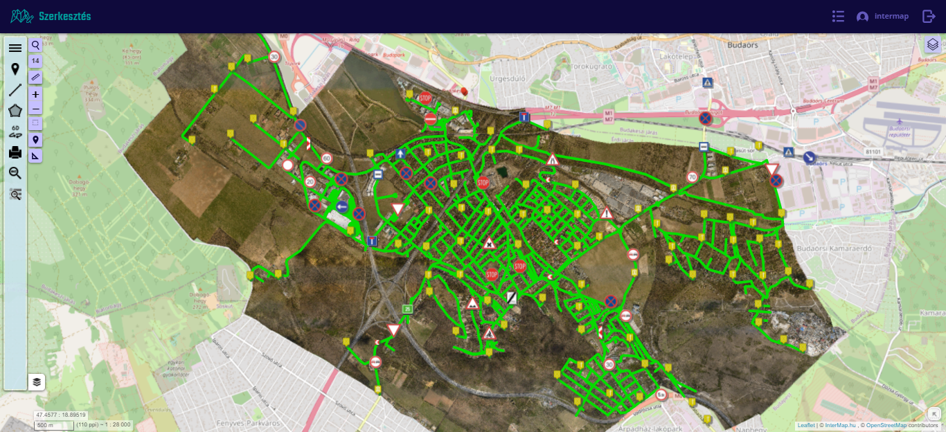
- Road sections from node to node were drawn, so a total of 1095
road graphs were processed.
- We created a point cloud for 26 kilometers of road.
- We made a total of 288 sections - 144
longitudinal and 144 cross sections.
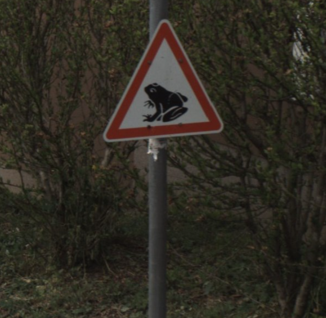
- The Artificial Intelligence learned new type of signs,
e.g. Frog danger.
The full survey took 5 days, as the weather intervened
several times, making access to the outlying areas difficult.
Following the schedule of the project, the processing was
complex, in addition to the traffic signs, the characteristic data of the road
network were also defined, such as the pavement material, the width, the
integrity of the pavement signs and other road data.
In accordance with GKM Decree 5/2004 (I. 28.) on the rules
for the management of local public roads, we performed a complex, challenging
data processing.
A total of 2,655 traffic signs were identified and inserted
on the map by artificial intelligence, as well as a further 2,529 objects of
interest to the municipality we added to the ForteMap GIS based on the images,
such as billboards, outlets, street furniture, etc.
In addition, we prepared longitudinal and cross-sections for
the parts of the road network defined by the Municipality. We also created the point
cloud of the roads to be sectioned. The sections help the work of the Municipality
and provide a good basis for the design of cycle paths and the planning of
rainwater drainage.
In order to keep the data up-to-date, we re-evaluate and
update the database every 3 months. In this way, every changes in the settlement
can be tracked.